.svg)
City of Darwin, NT
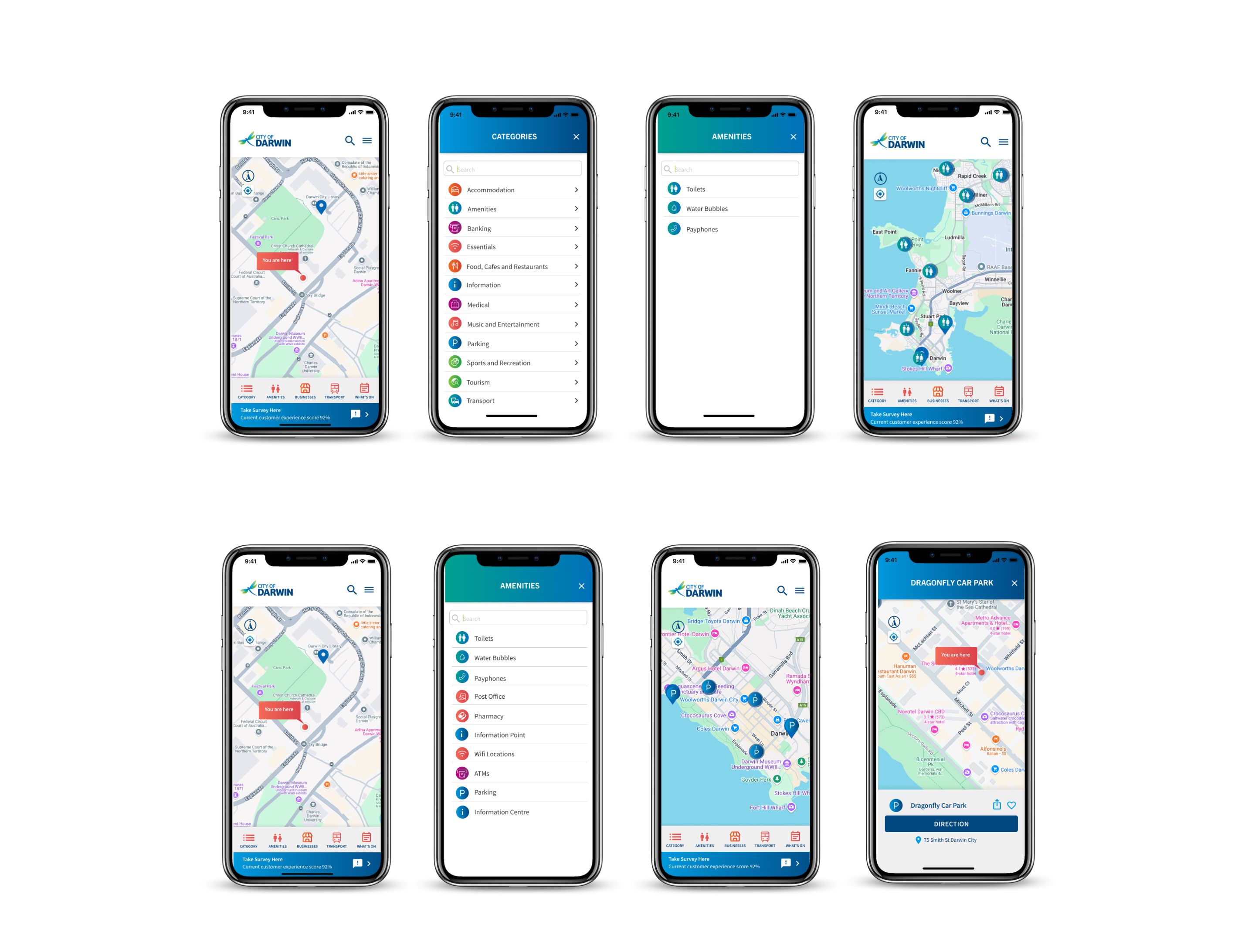
Envent built a Google-integrated mobile wayfinding map for Darwin CBD, then extended it to a 55" outdoor kiosk at The Mall. A full city wayfinding system for the NT capital.
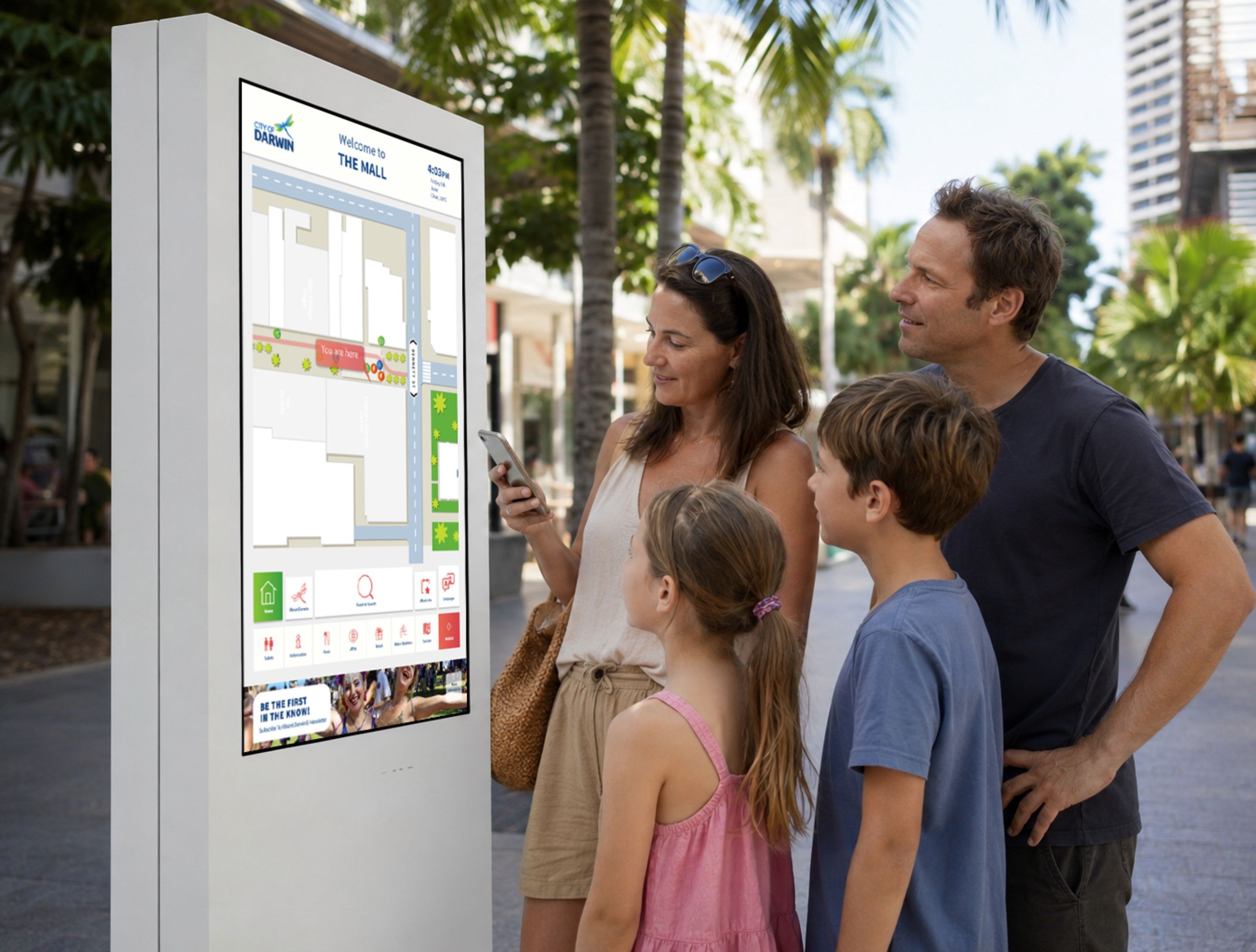
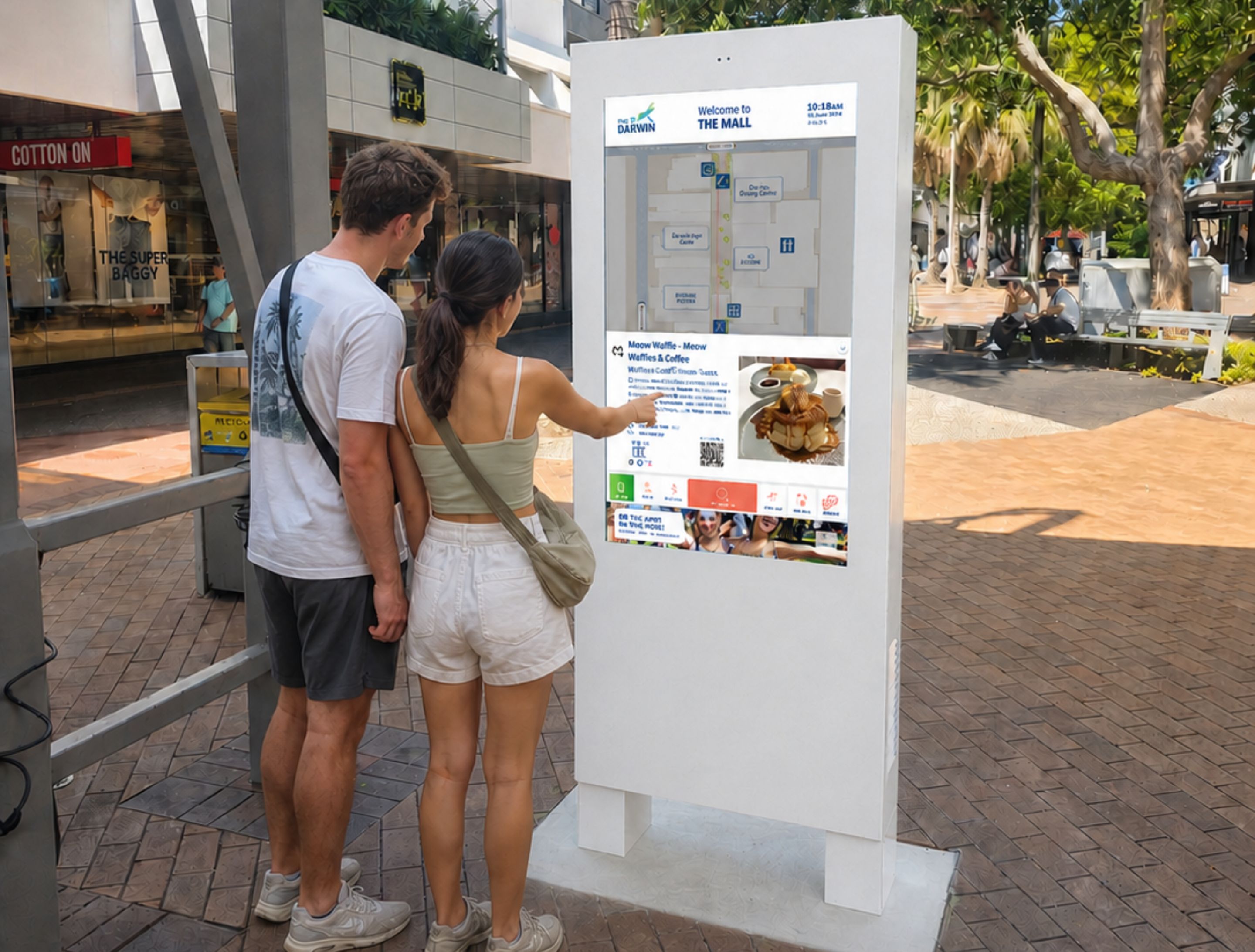
55" single screen outdoor digital wayfinder; web-based Google-integrated mobile wayfinder
Darwin CBD had no connected digital layer to guide visitors, support local businesses or activate tourism at scale. A Google-integrated mobile map was the fastest way to put the city on the wayfinding grid, with a kiosk network for The Mall as the natural next step and a roadmap to extend across the wider Darwin city area.
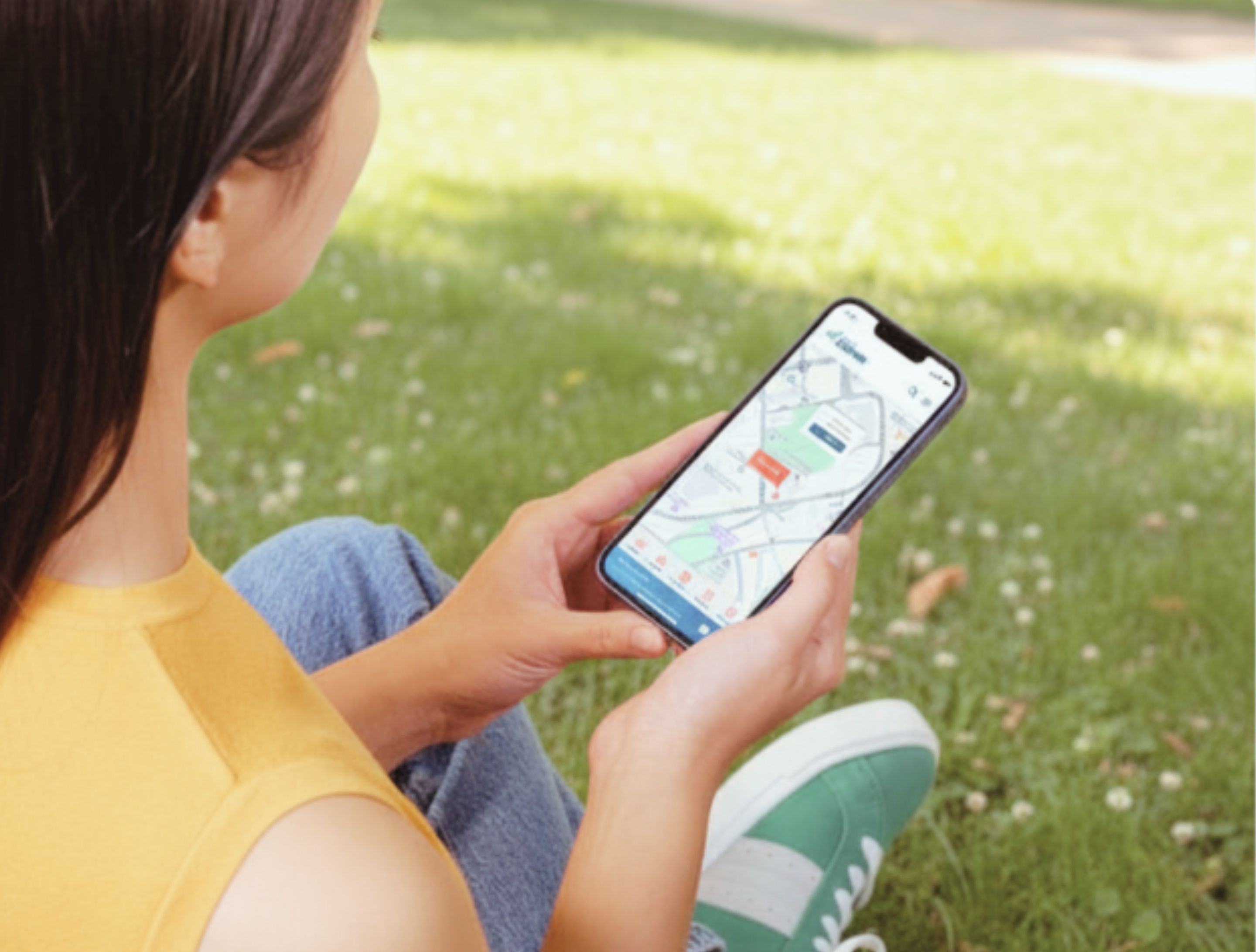
City of Darwin Council approached Envent to build a Google-integrated mobile wayfinding map for Darwin CBD. The brief was clear: connect visitors from across Australia and internationally with local businesses and points of interest, and give tourism in the NT capital a digital backbone it didn't have. Envent built and launched the mobile platform, integrating live Google Maps data with a curated local business directory to give every visitor a guided experience of the city from their phone.
The partnership deepened fast. The council extended the engagement to commission a 55" outdoor digital wayfinder for The Mall in Darwin CBD, bringing the experience off the screen and into the city's main pedestrian precinct. With a kiosk network now live and a roadmap to expand across the Darwin city area, this project marks the beginning of a city-wide wayfinding ecosystem for the Northern Territory.